Bunkerroute De Punt - Ouddorp Ouddorp - Bunker
Bunker in Ouddorp
Description
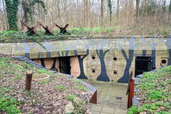
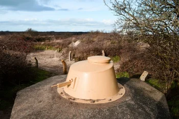
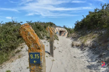
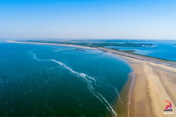
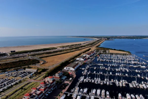
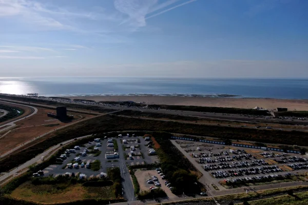
In the De Punt recreation area, not far from the Brouwersdam, you can view a special bunker complex. The Germans built it in World War II to defend Goeree-Overflakkee against an invasion from overseas. After the war, most of the bunkers disappeared under the sand, overgrown with brambles. A group of volunteers excavated the complex in its entirety. A walking route of about one kilometer takes you past the various bunkers. What to see?The bunker route is indicated by numbered signs that indicate the walking route. Panels have been placed on the bunkers with information about their original functions. The walking route has a length of approximately 1.5 kilometers and is accessible all year round. On the basis of the information panels, the entire route can be followed free of charge and you gain insight into the history of the bunkers. Free guided tours are offered during open days. HistoryDuring World War II, Goeree-Overflakkee, located on the coast, had strategically less important industries, ports or railways . Nevertheless, the head part of the island played a role in the German defense line because of its coastal location. Along the coastal strip of Goeree, from the east side (Stellendam) to the west side (De Punt), various bunkers, fortifications and scaffolding built. A robust infantry strongpoint was established at De Punt. This location had considerable strategic importance, because from there the guns could cover the access point of the Grevelingen between Goeree and Schouwen. After the war, during a storm in 1948, many bunkers on the complex were buried under sand and became damaged. the terrain into oblivion. The five largest bunkers remained visible, but were soon overgrown by dune thickets. Practical informationBelow you will find details on how to the Bunker Route at Ouddorp on Goeree-Overflakkee. Starting PointThe starting point of the Bunker Walk is sometimes overlooked. On the north side of the road (see the Google Map on this page) there is a sign indicating the starting point. Public transport'The nearest bus stop is the Ouddorp bus stop, Oudlandseweg, about a 10-minute walk from the Bunker Route. Buses 104, 604 and 139 stop here. You can plan your trip on www.9292ov.nl. BicycleFrom the Brouwersdam you follow cycle route 52. After about 1 km you will see the route on the left. You can also plan your cycling route on the website of the Bunkerroute. CarDrive from the N57 from Ouddorp towards Renesse. At the roundabout, take the first exit to the left, direction De Punt. In the bend to the right you will see a sign on the right with the start of the Bunkerroute (before the first left turn). The Bunker Route starts here. Parking on the verge is not allowed, but there is space to park in the large parking lot. |
Also around this location
Reviews
Reviews
Practical
| Setting | Outdoor |
| Average time | 2uur |
Prices
| Free |
Location
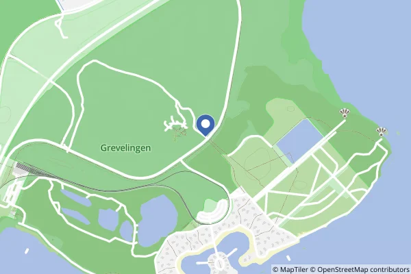
| 8,308.31 km from Denver, United States |
Weather forecasts
CategoryBunker
A bunker is a small independent defense structure that offers protection against shelling and bombing (to a certain extent). In countries where the bunkers are no longer needed, the structures can often still be viewed. Some bunkers are empty, others have a museum function and some bunkers are inhabited by bats!
